

- All regions
- >
- Caribe
- >
- Manzanillo


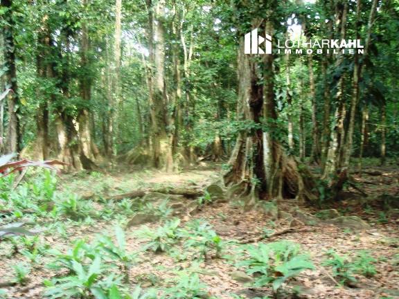
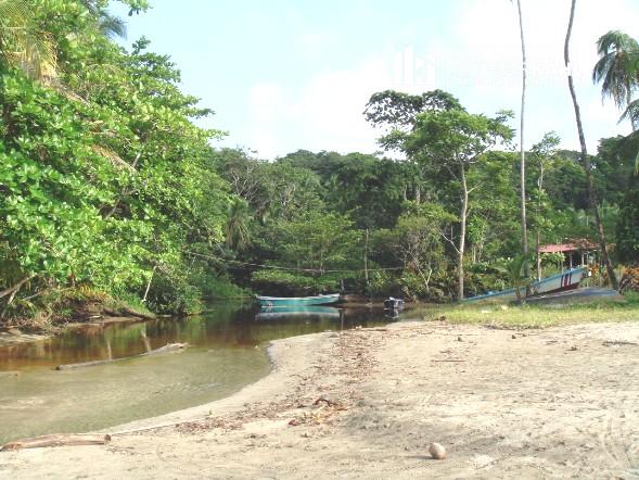
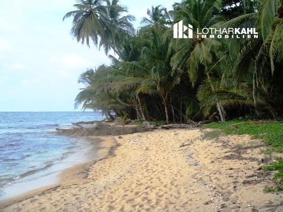
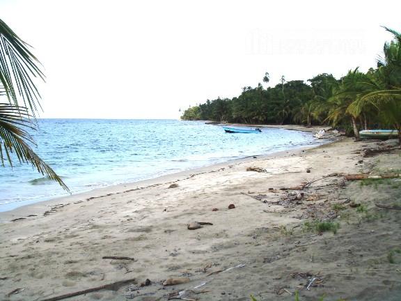
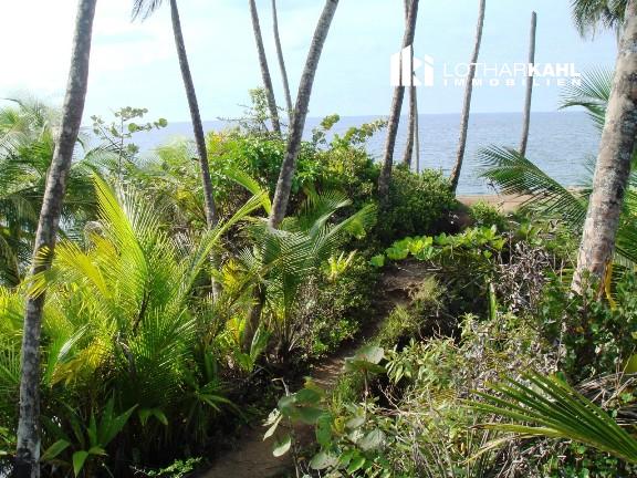
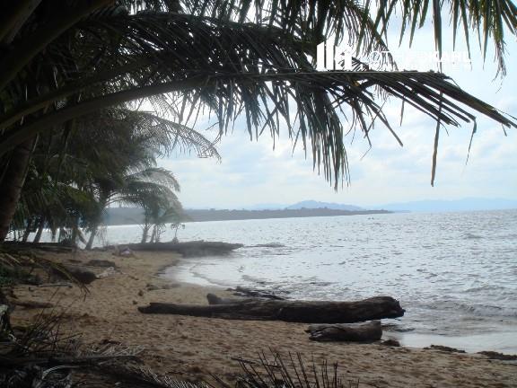
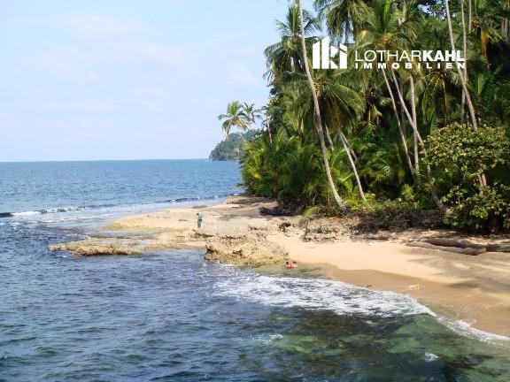
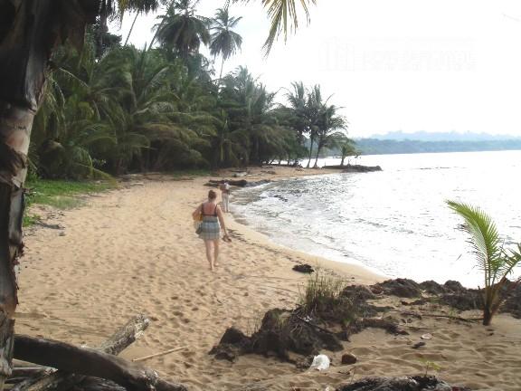
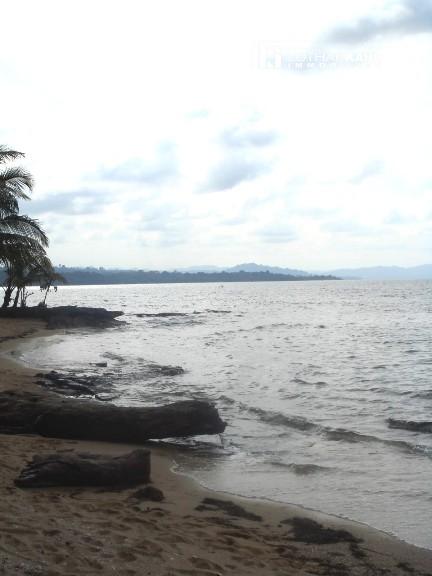
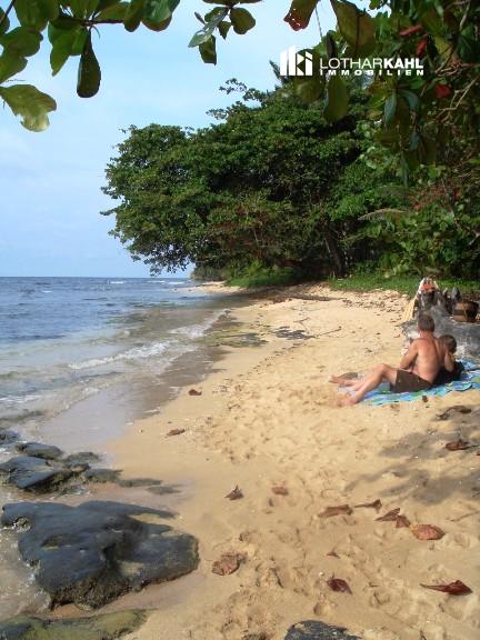
110.5-acre finca on the Caribbean coast
Location: about 656 ft inland from the fishing village Manzanillo.
63% (69.7 acres) is agricultural land, 37% (40.8 acres) are wetlands, where construction is not allowed. Recope’s (state oil refinery) employee instalations are to the west.
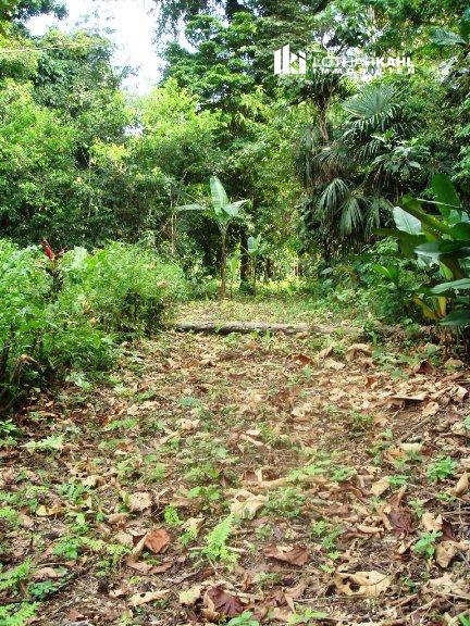
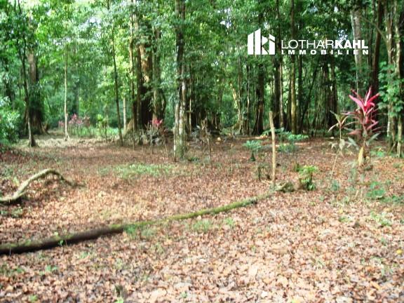
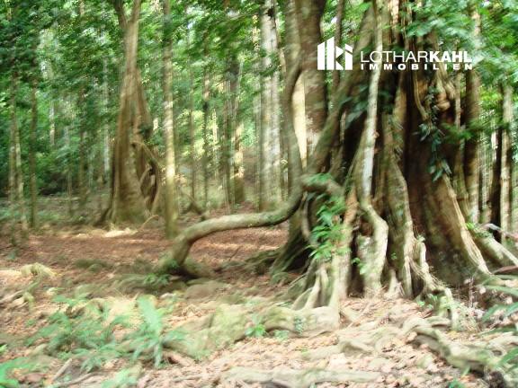
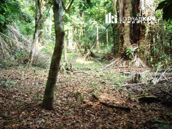
Years ago cocoa was harvested on the farm, then cattle grazed. In 1988 the current owner bought the farm, which today is a beautiful forest with enormous trees of precious wood.
The plant and animal world here is larger than that in a 10 times larger jungle (farm is part of the Refugio Nacional de Vida Silvestre Gandoca Manzanillo). That means one has to follow building regulations which guarantee the existence of the forest, a lower temperature, and thus ensure the beauty of this part of Costa Rica for next generations.
For example, only 2% per hectare can be developed – 2 houses of 1,076 ft2 or one with 2152 ft2, or 2% of the agricultural land (60,741 ft2 of 69.6 acres), in order to build, for expample, a holiday resort.
A stream – called Creek or Crique – flows in a serpentine course through the farm before emptying into the ocean. At this point the driveable part of the coastal road ends.
The shortest distance to the most beautiful beaches in the country is about 1,312 ft. A school, sports field, and cemetery are 984 ft away.
There is a bus service between Manzanillo and the provincial capital of Limón – road is asphalted.
Two estimates (2004 and 2008) were made by HSBC. They assumed a 50/50 proportion of agricultural land versus wetlands. The certificate of the corresponding forestry office confirmed in a letter dated April 16, 2010, a 63/37 correlation. Thus, the estimated values would have to be somewhat higher.